Tag Archive | volcanoes

Holuhraun and Bárðarbunga

The eruption at Holuhraun, just to the north-east of and part of the Bárðarbunga volcanic system in Iceland, has been ongoing since 29 August this year. I wrote a couple of posts about it, here (its start) and here (its early days), but I haven’t written an update for a while.

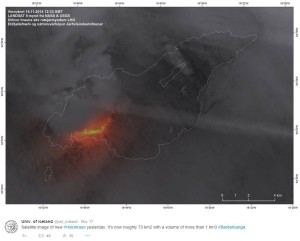
The fissure eruption has continued unabated now for 85 days. The most recent figures I can find are for 17 November (four days ago), and then the lavafield covered an area of 73 km² and had a volume of more than 1 km³. This makes it the largest eruption in Iceland since the Laki eruption of 1783, when an estimated 14 km³ of basalt lava was erupted.

The Holuhraun lavafield (outlined) with the ongoing eruption.  Source: University of Iceland Twitter account.

The Holuhraun lavafield (outlined) with the ongoing eruption. Source: University of Iceland Twitter account.

There is no sign in decrease in activity, and the subsidence at the Bárðarbunga caldera is continuing as well.

This beautiful video was taken a week or so ago:

The eruption is demonstrating to us nicely the early stages in the life of a new shield volcano. So exciting!

The wonderful website VolcanoCafé has great updates on the eruption, as well as a page dedicated to all the useful web links to data, webcams etc.

Bárðarbunga: the fissure eruption continues

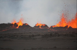
After a quiet Saturday with no eruptive activity, the fissure near Bárðarbunga sprang into life again early on Sunday (yesterday) morning. I awoke to glorious images online:

Eruption early morning 31 August 2014. Photo from the University of Iceland twitter feed.

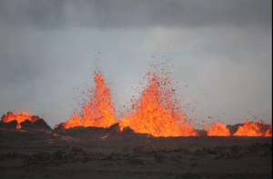
Eruption at the fissure near Bárðarbunga, Iceland, early morning Sunday 31 August 2014. Photo from the University of Iceland twitter feed.

univiceland3

Eruption at the fissure near Bárðarbunga, Iceland, early morning Sunday 31 August 2014. Photo from the University of Iceland twitter feed.

univiceland2

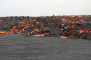
Pahoehoe basalt lava from the eruption at the fissure near Bárðarbunga, Iceland, early morning Sunday 31 August 2014. Photo from the University of Iceland twitter feed.

The eruption continued throughout Sunday so it was possible to see the lava fountains live on the online webcams. Some of them were 70 m high.  Later on in the day more images from close to the scene came through:

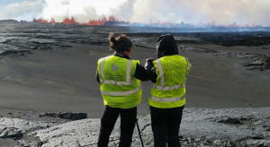
Researchers from the University of Cambridge and the University of Iceland, 31 August 2014, at the fissure near Bárðarbunga, Iceland.

Researchers from the University of Cambridge and the University of Iceland, Sunday 31 August 2014, at the fissure eruption near Bárðarbunga, Iceland. I would love to be here (apart from the poisonous SO2 gases…) Photo from Thorbjorg Agustsdottir’s twitter.

although as a storm passed through for some of the day, no fly-overs were possible. As darkness fell yesterday evening, more stunning images were provided:

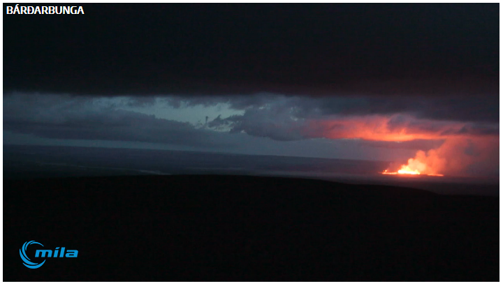
Screengrab from a Mila webcam of the fissure last evening, with the lava reflected on the underside of the clouds. Screengrab bu Oddition at Volcanocafe.

Stunning screengrab of the fissure eruption last evening, with the lava reflected on the underside of the clouds. From a Mila webcam, screengrab by Oddition at VolcanoCafé.

As I write (Monday 1 September afternoon) the eruption is continuing.

2 September update: Some stunning aerial photos taken by Einar Gudmann on Monday 1 September here, and magnificent aerial footage filmed by Skarphéðinn Snorrason:

A fissure eruption near Bárðarbunga in Iceland

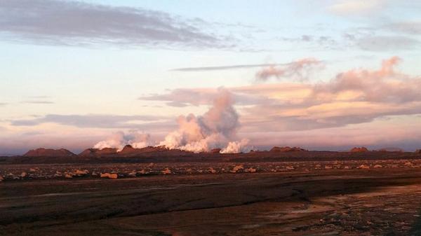
After days of watching the subterranean dike gradually expanding north-eastwards from Bárðarbunga (a volcano under the Vatnajökull glacier in Iceland), today I woke to the news on the BBC (always my first port of call) that there had been an eruption there overnight. I headed straight over to my favourite volcano website, VolcanoCafé. I have been glued to it all day, and not getting too much work done. The eruption was along the line of a previous fissure eruption, part of the Holuhraun lavafield north of Dyngjujokull and south of the Askja caldera, which was formed in an effusive lava eruption in 1797. The eruption seems to have died down for now, but it seems almost certain there will be more to come. This stunning photo made my day:
adadad

The eruption in the glorious early morning light in Iceland. The volcanic cones were formed during an eruption in 1797, and are now being added to by today’s eruption. Photo by Thorbjorg Agustsdottir.

It was taken this morning by Thorbjorg Agustsdottir (just before she went to bed as she had been up all night monitoring the eruption). She is a geophysicist at the University of Cambridge and is lucky enough to be currently working in the area. Her twitter feed has some great photos. I am so jealous of her!
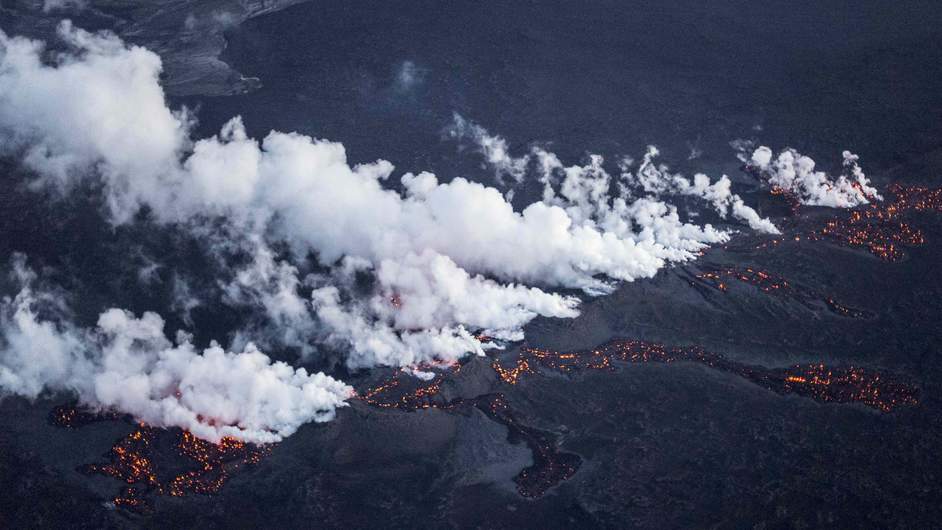
Lava flowing from the fissure, 29 August 2014. Photo: Reuters.

Aerial shot of lava flowing from the fissure, 29 August 2014. Photo: Reuters.

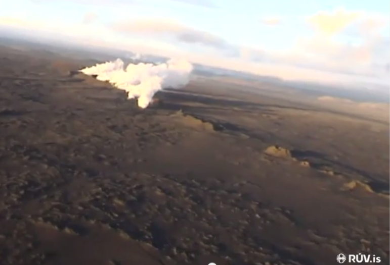
It seems the skies above the fissure have been busy today. Here’s a great low-level set of photos of the fissure and the tongues of lava that erupted. Other aerial shots of the fissure, taken this morning by Omar Ragnarsson and Hjalta Stefansson, a very intrepid pilot and his passenger, are equally stunning: https://www.youtube.com/watch?v=BxbIjFx6b4c
aerail footage

A still from the first video, showing the fissure line. Taken by Omar Ragnarsson and Hjalta Stefansson.

aerial footage snip 3

Another still from the first video, showing the fissure line. Taken by Omar Ragnarsson and Hjalta Stefansson.
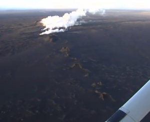
I am very nostalgic because it reminds me of an area of the basalt desert in Jordan in which I worked in the 1980s, and in particular the Qiṭār el ‘Abd, a line of volcanic cones along a fissure:
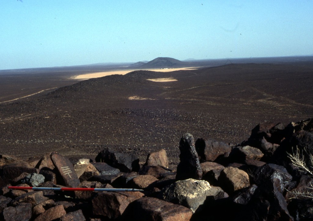
Part of the Qitar el Abd, a fissure line of volcanic cones in eastern Jordan.

Part of the Qiṭār el ‘Abd, a fissure line of volcanic cones in eastern Jordan. Photo taken from the top of one of the peaks by me in 1989. The ranging rod is by a bedouin grave, with an upright headstone and footstone. The pecked design on the headstone is a wasm, a tribal mark.

The Qiṭār el ‘Abd runs NW-SE for about 100 km from just inside the Syrian border on the south-eastern side of Jebel al-Druze, the main volcano in the region, to the south-eastern edge of the basalt desert in the Jordanian panhandle. It looks on Google Earth like it forks at its southern end but I know nothing about it or the system that produced it, or its age. All I know is that it is a beautiful landscape feature. I absolutely adore basalt landscapes, and now I am feeling very happy-sad in my nostalgia. I had some of the best times ever in the basalt.
Favourite websites: VolcanoCafé

I have always had a fascination with nature’s dramatic events, such as tornadoes or tsunamis or landslides or earthquakes. At the top of my ‘ooooh’ list: volcanoes.

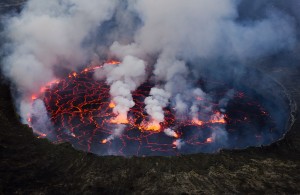
The lava lake at Mt Nyiragongo in the Democratic Republic of Congo. Photo by Cai Tjeenk Willink.

The lava lake at Mt Nyiragongo in the Democratic Republic of Congo. Photo by Cai Tjeenk Willink.

When a new volcanic underwater vent off the coast of El Hierro in the Canary Islands started erupting back in October 2011, I tried to find out what I could about it on the web. One of the best sources was a new blog, VolcanoCafé, which I gather was set up to house volcano aficionados who had been deemed too chatty for a more serious-minded volcano website (though I might have got that wrong …).

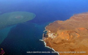
The eruption at El Hierro. Photo by INVOLCAN.

The eruption at El Hierro, pictured three months in to the eruptive phase, on 5 January 2012. Photo by INVOLCAN.

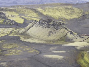
Lakagigar, Iceland. Photo by Juhász Péter, 1 July 2004.

Lakagigar, Iceland. Photo by Juhász Péter, 1 July 2004.

I have little scientific knowledge. I did geology ‘A’ level partly because of my fascination with volcanoes, but it involved mineralogy and crystallography and other areas of study that I really, really struggled with, only having done biology and geology at ‘O’ Level. I found VolcanoCafé perfect for me, as it is accessible to those with little or no scientific knowledge. It’s maintained by a group of highly informed and interested amateurs who understand what it is to not fully grasp things, and explain patiently in the comments section anything you might not understand.

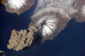
Mt Cleveland in Alaska. Photo by Jeffrey N. Williams from abaord the International Space Station. This was an APOD!

Mt Cleveland in Alaska. Photo by Jeffrey N Williams from aboard the International Space Station.

What I love about VolcanoCafé is that it features articles written by its readers, about volcanoes that inspire them. You get the real sense of wonder and excitement, plus a really eclectic mix of subjects. Professional volcanologists read it too, and pop up in the comments section every now and then. The comments section is always really lively, and often provides early alerts and updates to new volcanic events around the world. Currently I’m learning about the new eruption which has enlarged Japanese volcanic island of Nishinoshima. Fantastic!

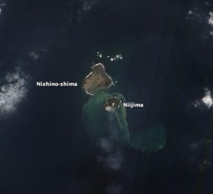
When the submarine eruption near the island of Nishinoshima first broke the surface of the water, the isalnd it created was nameed.  It has since expanded considerably and joined to Nishinoshima.

When the submarine eruption near the island of Nishinoshima first broke the surface of the water, the island it created was named Niijima. It has since expanded considerably and joined to Nishinoshima. This photo was taken on 8 December 2013, by the Advanced Land Imager (ALI) on NASA’s Earth Observing-1 (EO-1) satellite.

So a  heartfelt ‘thanks’ from me to Carl, the founder of VolcanoCafé, and the ‘dragons’, and all the contributors who make it such an interesting and vibrant read.