Tag Archive | Sunday stroll

Sunday stroll: RSPB Arne

On Sunday we headed out to the Arne peninsula on the south-western side of Poole Harbour, to visit the RSPB (Royal Society for the Protection of Birds) reserve there. We saw a group of spoonbills, recent arrivals to the UK which are now breeding here. It’s a lovely reserve, with areas of deciduous woodland, heathland and marshland, so attracts lots of different kinds of birds.

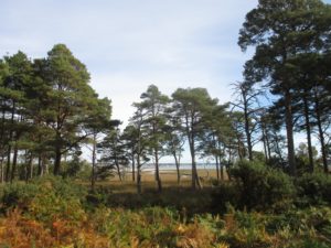
Looking through the Scots Pines (Pinus sylvestris) to Poole Harbour. There’s a group of spoonbills (Platalea leucorodia) in there, not that you can make them out!

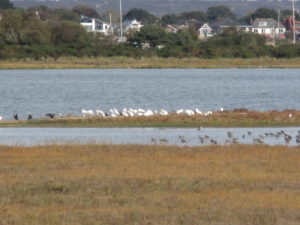
The best my crappy camera could manage of the spoonbills. I counted about 48 individuals.

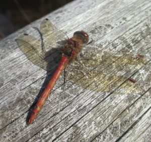
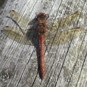
Either a Common darter  (Sympetrum striolatum) or a Ruddy darter (Sympetrum sanguineum) dragonfly. He let me put the camera almost on top of him!

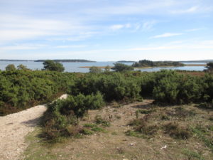
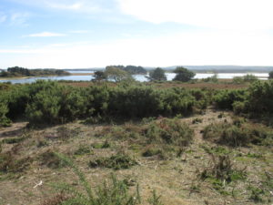
If I was clever I would stitch these next two photos together … but I’m not. Various islands in Poole Harbour, including Long Island, Round Island, Green Island and Brownsea Island.

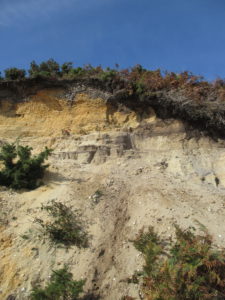
The sandy cliffs by the beach at Shipstal Point. The archaeologist in me wanted to cut them back to a vertical section ….

RSPB website

Sunday stroll: West Dorset

Yesterday the weather was so glorious that we headed out first thing for an adventure. We wanted to do a walk along a river, and as the rivers round our way are mainly lacking in public rights of way, we headed to one of our favourite parts of the world, West Dorset. Click on all photos to embiggen/bigify.

Our first port of call was Pilsdon Pen, a hillfort-topped hill very near where my parents used to live. It used to be thought the highest point in Dorset, until a re-survey showed that the neighbouring Lewesdon Hill was a mighty two metres higher.

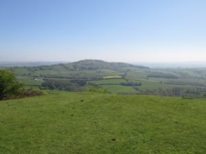
Lewesdon Hill from Pilsdon Pen.

On a really clear day the views are spectacular, but the heat haze made the visibility not so great. Lots of lovely chubby lambs on the hill.

Chubby lamb on Pilsdon Pen.

Then we drove on to Whitchurch Canonicorum, and did a short walk along the banks of the River Char, which flows down to the sea at the aptly named Charmouth.

River Char to the right of the photo. It’s narrow and quite deeply incised.

The walk was pretty, but a bit disappointing nature-wise: we only saw five species of butterfly (orange tip, peacock, small white, speckled wood and brimstone), and very few birds, though we did have a brief encounter with a heron. The wild flowers were also rather limited: mainly dandelions, lady’s smock (also known as cuckoo flower), greater stitchwort, bluebells, wild garlic and field buttercups.

Loads of lady’s smock in the damper areas.

Beautiful wild garlic.

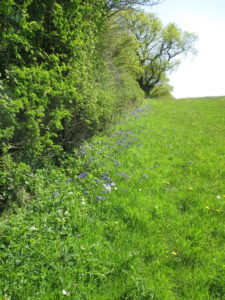
Bluebells and greater stitchwort growing in the shade of a hedgerow.

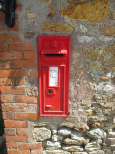
Afterwards we went to the village pub, the Five Bells, but as they didn’t have any alcohol-free lager (I know, we’re both on the wagon and needs must when you fancy a cold one!) we went on to the Shave Cross Inn in Marshwood Vale. We’ve been here many times and it’s a lovely pub, but sadly too popular yesterday as we couldn’t get a table to eat. And no alcohol-free beer either, so we contented ourselves with big glasses of fizzy water with ice and a slice of lemon and pretended they were g&ts, sitting in the sunny garden. There’s a lovely old Victorian postbox built in to the side of the pub.

Victorian postbox built in to the side of the Shave Cross Inn. The VR stands for Victoria Regina (Queen Victoria).

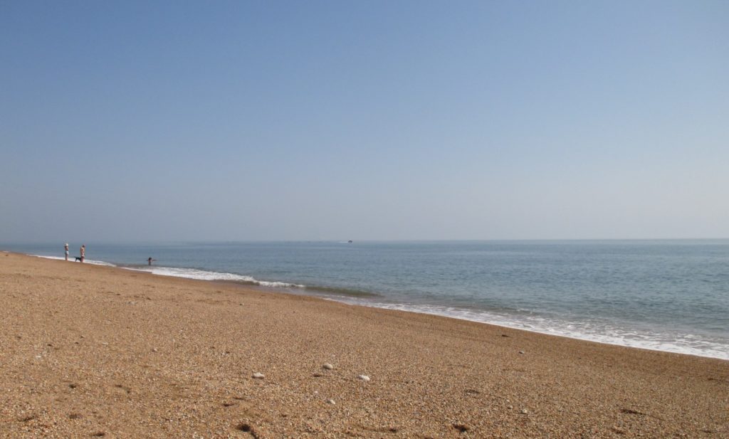
Then on to the pretty market town of Bridport, which unsurprisingly was Sunday-shut. We snaffled a supermarket sandwich as a pub lunch anywhere wasn’t going to happen (too busy on this Bank Holiday weekend and too late). We took the coast road eastwards out of Bridport, and stopped at the National Trust-owned Cogden Beach at the western end of Chesil Beach. There were quite a few anglers fishing from the shingle, and a few hardy swimmers. The water was pretty calm and I was tempted, until I went for a paddle. Not warm! One very excitable young woman was swimming and shouting to her friends on the beach ‘I love the sea!’ so happily that it wouldn’t surprise me if she’s grown a mermaid tail by now.

She loves that sea!

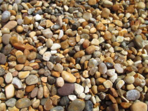
I tried to take an arty-farty photo of the shingle (pea to grape sized here, where at the eastern end of Chesil they are sweet potato sized), but when I looked at it on screen just now it looked like I could have taken the shot of a dumpy bag of gravel at my local Travis Perkins. Not one for Instagram!

Hmm. Cogden Beach or Travis Perkins?

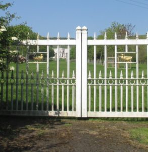
Then back in the car and we decided that rather than take the A35, the quick road back to Dorchester, we’d bimble along the road that runs vaguely parallel and to the south of it. I cycled this road back in 1987 (a Sunday cycle) when I was working on the archaeological excavations ahead of the construction of the Dorchester bypass and had bought myself a bicycle so I could see some more of the countryside. It was quite nostalgic visiting again – we drove through Long Bredy, Littlebredy and passed the gateway of a new country house that I remember seeing a tv progamme about many moons ago: Bellamont House, built in the Neo Georgian / Neo Gothic Revival style. We admired their golden duck gates and the longhorn cattle within.

Bellamont House, between Long Bredy and Littlebredy.

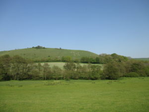
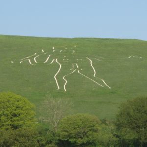
We decided to head home via the Cerne Abbas Giant: he always seems so pleased to see us.

The Cerne Abbas Giant.

Look closer.

Sunday stroll: Bulbarrow

Bulbarrow Hill is a beautiful hill in north-central Dorset, south of Sturminster Newton and west of Blandford Forum. Here the chalk hills rise to 274 metres, making it the third-highest point in the county (after Eggardon Hill at 279 m and Pilsdon Pen at 277 m). It has spectacular views all around, especially to the north and north-west, over the Blackmore Vale, and south-eastwards towards the Dorsetshire Gap. This is in the heart of Thomas Hardy country, and is as lovely as it was in his day, seemingly little-changed. Click on all photos to enlarge: if you then click on the photo again, you get an even bigger version.

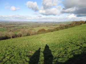
View looking south-west from Bulbarrow Hill. The Dorsetshire Gap is on the right in the distance.

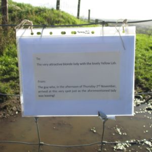
By the stile to the footpath leading to Rawlsbury Camp was this sign:

Dating, Dorset style. I wonder what was in the message and if they ever met up again?

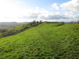
Rawlsbury Camp is a small multivallate hillfort, dating from the Iron Age. It is a Scheduled Ancient Monument, and according to its listing, does not appear to have been excavated. A large, fairly new wooden cross has been placed within the hillfort. I can see no mention of this in the listing and wonder if it is a modern construction or replacing an older, historic one.  I would hope the latter, as I cannot see how such despoilation of a scheduled ancient monument would be allowed otherwise.

Rawlsbury Camp with its intrusive cross.

The Dorsetshire Gap is a prominent landscape feature, a very obvious gap (and thus passageway) between Nordon Hill to the east and Nettlecombe Tout to the west. Five ancient trackways meet at the Gap.

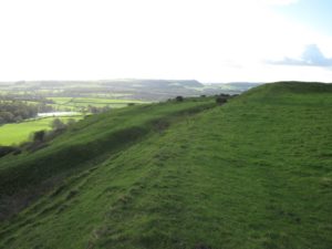
The earthworks (ramparts and ditches) of Rawlsbury Camp. It must have been a bleak life living up here. The Dorsetshire Gap is on the horizon.

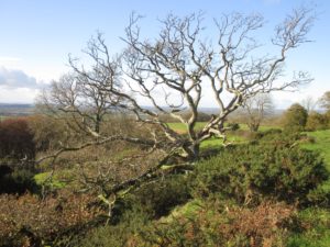
A beautiful windswept oak on the ramparts.

One of the things that struck us here is that even though there is a road running right across the top of the hill, there is no road noise, allowing you to enjoy the proper sounds of the countryside. This is in marked contrast to another favourite Dorset spot of ours, Fontmell Down Nature Reserve, where the A350 runs noisily close by and the neighbouring Compton Abbas airfield sees plenty of small aircraft coming and going.

Looking north across the Blackmore Vale towards the Shaftesbury escarpment and the lone tump of Duncliffe Hill. You can just make out the clump of trees on Win Green on the very right of the photo, on the skyline. (Click to embiggen/bigify).

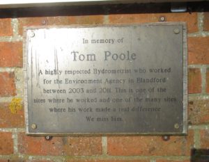
On the way home we stopped at the River Stour, just north of the wonderfully named village of Hammoon. Here there is a small brick-built river water monitoring station, run by the Environment Agency, and there is a very touching plaque mounted on the wall.

The lovely plaque at the water monitoring station by the bridge over the River Stour, near Hammoon. Tom Poole was clearly much loved by his colleagues.

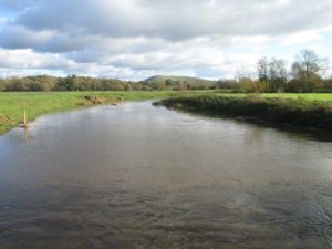
The River Stour, taken from Tom Poole’s Bridge (as I shall call it from now on).

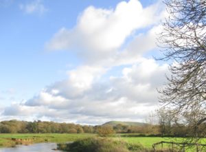
The River Stour, and in the background Hambledon Hill. I have a very soft spot for Hambledon: it was here I went on my first proper archaeological dig, in 1979.

Sunday stroll: Ashcombe

Yesterday was a glorious summer’s day, and we went on a walk we’ve done a couple of times before, on byways and footpaths through the grounds of the Ashcombe Estate, near Tollard Royal in south Wiltshire. Ashcombe House was once the home of Sir Cecil Beaton, and he wrote a wonderful book about his life there. Click on photos to enlarge.

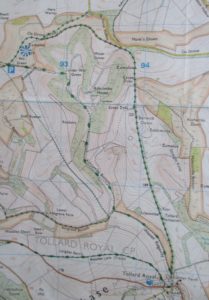
1:25,000 map of the area. Each blue grid square is 1 km x 1 km.

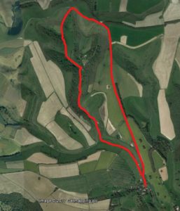
Google Earth image with route marked. We started at Tollard Royal at the bottom of the image and walked the route anti-clockwise direction, going up the straight byway at the start of the walk.

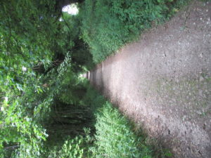
Going up the long straight byway. A byway is open to all traffic: we met a couple of cheery off-road motorbikers.

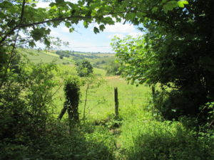
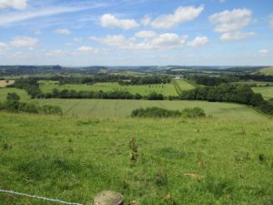
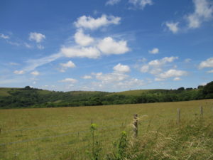
Lovely vista of Ashgrove Bottom, one of the many dry valleys (coombes) on the chalk downland.

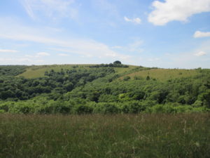
The path is still climbing, and on the left and centre you can see the tops of the wooded coombes in which Ashcombe House nestles.

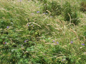
Lovely meadow cranesbill (Geranium pratense). It’s a much more vivid blue than this – the colour never comes out right in my photos.

Still climbing.

If you just squint you can see a part of the roof and dormer windows of Ashcombe House in the centre of the photo, surrounded by the woods. It is in the most wonderfully secluded spot.

Looking down on the woods. To me, there is no finer sight than the English countryside in summer.

Not that you’ll be able to spot them, but there are two red kites (Milvus milvus) in this photo. The red kite has only colonised this area in the last 15 years or so.

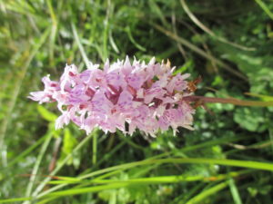
A common spotted orchid (Dactylorhiza fuchsii), just starting to go over.

Another common spotted orchid flower, slightly differently coloured (they are quite variable).

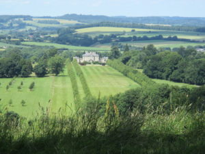
Ferne House, just to the north of the Ashcombe Estate, with its double avenue of trees. Despite looking like it has sat in its grounds for centuries, this mansion was built in 2001 for Lord Rothermere. It was designed in a Palladian style by architect Quinlan Terry.

Ferne House and grounds. I’m fascinated by the groups of trees that have been planted – squares, circles, crosses, triangles and even what might be a love heart! This is the highest point of the walk, and is only a few metres lower than Win Green, the nearby highest ground with a trig point and fabulous vistas over south Wiltshire and north Dorset.

Starting the steep walk down through the woods to Ashcombe Bottom. You can see here how Ashcombe got its name – valley of the ashes. There were also some beautiful beech trees in the woods, and luckily no sign of the dreaded ash die-back disease we’ve been hearing so much about recently.

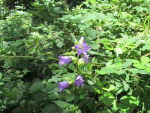
It was a lovely surprise to see so many nettle-leaved bellflowers (Campanula trachelium) in the woods. The ransoms/wild garlic (Allium ursinum) leaves were dying off but the aroma was still pungent – delicious!

Walking down Ashcombe Bottom. Along with the estate trees (with their stock-proof cages) it was lovely to see the hawthorn bushes (Crataegus monogyna) on the hillside: such a classic part of chalk downland life.

Heading back to Tollard.

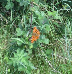
A rather crappy photo of a gorgeous comma butterfly (Polygonia c-album) with its ragged wing edges.

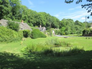
Journey’s end: the beautiful wildlife pond at Tollard Royal.

Such a lovely walk: we saw some many wildflowers and grasses, including goatsbeard (Tragopogon pratensis), quaking grass (Briza media), pyramidal orchids (Anacamptis pyramidalis), common spotted orchids (Dactylorhiza fuchsii), common valerian (Valeriana officinalis), field scabious (Knautia arvensis), nettle-leaved bellflower (Campanula trachelium), meadow cranesbill (Geranium pratense), chalk milkwort (Polygala calcarea), lady’s bedstraw (Galium verum), wild carrot (Daucus carota), greater knapweed (Centaurea scabiosa), hedge bedstraw (Galium mollugo) and many others. The one plant I expected to see and did not was the harebell (Campanula rotundifolia), an absolute classic flower of chalk downlands.

We saw ten butterfly species: small tortoiseshell (Aglais urticae), small white (Pieris rapae), grizzled skipper (Pyrgus malvae), marbled white (Melanargia galathea), peacock (Aglais io), red admiral (Vanessa atalanta), comma (Polygonia c-album), meadow brown (Maniola jurtina), speckled wood (Pararge aegeria) and gatekeeper (Pyronia tythonus). We weren’t really looking out for birds so much, but saw red kites and buzzards, plus a female blackcap and heard a beautiful male blackbird’s song in the woods. A blue damselfly settled on the drive in front of us as we walked along Ashcombe Bottom. It’s a wonderful walk in beautiful countryside, and we shall be doing it again before too long.

Sunday stroll: By Brook near Box

Yesterday was glorious – a brilliant, sunshiney spring day when all’s right with the world. We headed north for our day out, first to Great Chalfield Manor near Melksham in Wiltshire, an amazing Tudor manor house owned by the National Trust and most recently seen in the BBC’s wonderful Wolf Hall, doubling as Sir Thomas Cromwell’s home, Austin Friars. I’ll write about this in more detail another time; we went on from Great Chalfield for a walk around the By Brook in Box, Wiltshire. It turned out to be quite a special walk, for quite a few reasons.
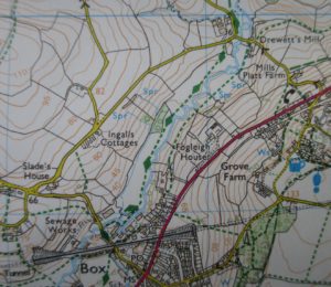
Detail from OS 1:25,000 Explorer Map 156 for Chippenham and Bradford-on-Avon. The squares are 1 km x 1 km.
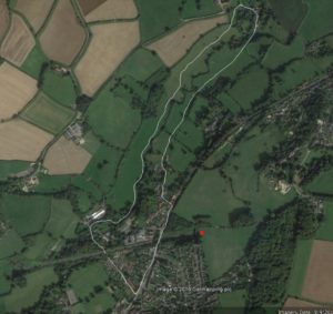
Google Earth view with our path marked out in a rather wobbly white line. We travelled in a clockwise direction. The red dot marks the western portal of the Box Tunnel.

We parked up near the railway bridge and walked past some old mill buildings with a funky lead-clad modern extension which only today (Monday) I have found out were Peter Gabriel‘s Real World Studios, where such luminaries as Gabriel himself, Beyoncé, Björk, Pixies, Kanye West, Robert Plant, Amy Winehouse, Brian Eno, Jay-Z, Coldplay, Deep Purple and New Order have recorded. Had I realised at the time I would have taken some photos! Anyhow, no celebs were spotted, just a lad with a skateboard and other locals. We followed the footpath heading north-east along the western side of the brook, which in places was quite wide and deep: deep enough for skateboard lad and his friend to be swimming in it. Brave for this time of year, despite the sunshine.
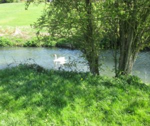
Swan on the By Brook, Box, Wiltshire. The brook had narrowed by this point: further south it was wider and deep enough for swimming.

Fogleigh House, a Victorian pile above the brook.

Unexpected moment number one came when Chap saw what he thought was a cormorant (Phalacrocorax carbo) perched in the windy tops of a tree over the brook. Not the sort of bird you expect to encounter on a country walk through pasture land. But sure enough, a cormorant it was.
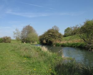
That dark speck at the top of the trees is a cormorant. Chap has decidedly better eyesight (and bird recognition skills) than me.
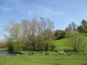
Closing in on the cormorant.
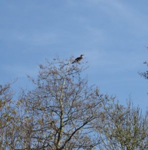
He or she didn’t seem at all bothered as we passed by.
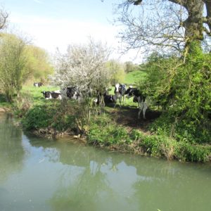
Holstein cows.
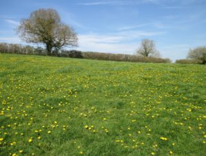
Dandelions ahoy.
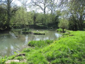
A swan nesting on an island.
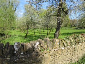
Beautiful orchard in blossom.
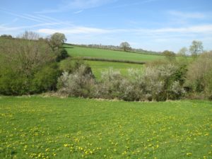
In the distance is the village of Colerne with its prominent church tower.

Unexpected moment number two: a fairy circle of St George’s mushrooms (Calocybe gambosa). These are traditionally found round about St George’s Day (23 April), hence the name: mine are a bit early, I guess brought on by the wonderful weather. I picked some (Chap’s sandwich bag made a handy receptacle). They are good to eat, fried with butter and garlic.
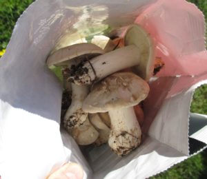
St George’s mushrooms. Yummy fried with butter and garlic.
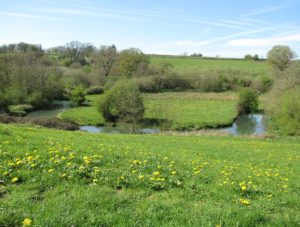
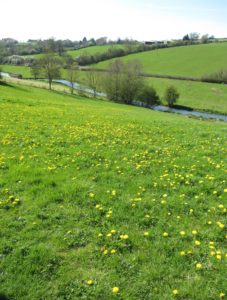
Unexpected moment number three: Box Tunnel. I knew of Isambard Kindom Brunel‘s magnificent engineering endeavour, but had never seen it. Our footpath and then a small road led us out on to the main road, the A4, and there it was! Built between 1838 and 1841 for the Great Western Railway (GWR), it was a considerable engineering feat, at 2.95 km (1.83 miles) long, and dug through difficult and challenging strata. It’s sobering to learn that around 100 labourers died during the tunnel’s construction.
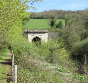
The west portal of Box Tunnel.
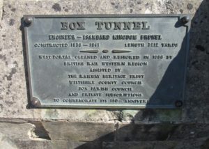
Commemorative plaque for the restoration of the portal in 1986. The tunnel was constructed between 1838 and 1841; surveying (including the sinking of eight shafts to ascertain the geology) took place in 1836 and 1837.
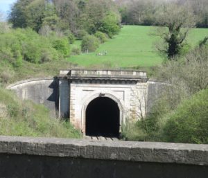
The west portal of Box Tunnel: I don’t think many civil engineering projects nowadays would decorate their structures with carved stone balustrading.

Unexpected moment number four: as we walked back in to Box we passed a B&B with a blue plaque on the wall: the author of the Thomas the Tank Engine books, Reverend W V Awdry, had lived here as a child.
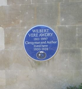
Blue plaque at Lorne House B&B for Reverend W V Awdry, of Thomas the Tank Engine books fame.

Here’s what Wikipedia has to say about his time in the house, then known as Lorne Villa, and its influence on his future career as an author:

“[Awdry’s house] was only 200 yards (180 m) from the western end of Box Tunnel. There the Great Western Railway main line climbs at a gradient of 1 in 100 for two miles. A banking engine was kept there to assist freight trains up the hill. These trains usually ran at night and the young Awdry could hear them from his bed, listening to the coded whistle signals between the train engine and the banker as well as the sharp bark from the locomotive exhausts as they fought their way up the incline. Awdry related: “There was no doubt in my mind that steam engines all had definite personalities. I would hear them snorting up the grade and little imagination was needed to hear in the puffings and pantings of the two engines the conversation they were having with one another. Here was the inspiration for the story of Edward helping Gordon‘s train up the hill, a story that Awdry first told his son Christopher some 25 years later, and which appeared in the first of the Railway Series books.”

Now I have a small but particular connection to Rev. Awdry. He was born in 1911 in Ampfield Vicarage near Romsey in Hampshire, and lived there until 1917. My mother lived in Ampfield Vicarage from September 1942 until some time in 1946: the vicar and his wife were the legal guardians of my mother and her brother while my grandparents were living in Borneo (and later held in a Japanese internment camp there). So this little blue plaque brought up all sorts of memories.

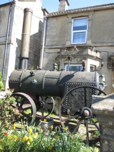
And then, across the road from Lorne Villa, came unexpected moment number five: a ruddy great steam thingamybob parked in someone’s front garden:
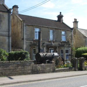
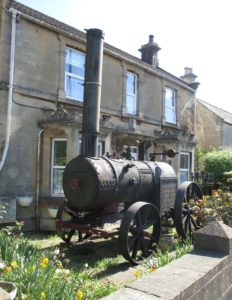
A bit of poking around on the web, and a gentleman on a forum tells that it is

“the boiler for a portable steam engine of the type used for powering belt-driven machinery, typically threshing machines used in separating grain from straw and chaff. The wheels indicate that it was pulled from place to place by horses, and not self-propelled. The engine is gone, too; all that remains is the boiler that generated steam to drive the engine.”

So something like this in its heydey:

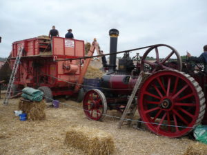
A threshing machine demonstration at the Great Dorset Steam Fair, August 2008. Photo by Thomas Weise.

So a wonderful day full of wonderful moments.
Sunday stroll: Swallowcliffe

Yesterday was a beautiful sunny spring Sunday, and we went for a walk in the countryside around the south Wiltshire village of Swallowcliffe.

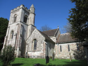
The Church of St Peter, Swallowcliffe, built 1842-1843. There was a service going on so we didn’t go inside.

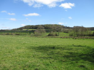
Everything’s gone green after a grey winter ….

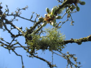
Lichen on a shrub.

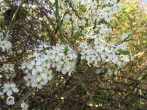
Beautiful blackthorn (Prunus spinosa) blossom: hopefully there’ll be a good sloe crop from these in the late summer.

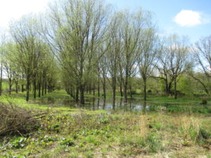
(Slightly drunken shot) of a soggy willow plantation. The area is very damp, with many springs, so willows seem to be a popular choice of commercial timber round here.

Castle Ditches, an Iron Age hill fort, and beneath it Withyslade Farm.

Castle Ditches is an Iron Age hillfort. The Victoria County History of Wiltshire says of the site: ‘An Iron-Age hill fort was called Oakley Castle in the 14th century and later, its ditches and banks, enclosing 25 acres, were called Castle ditches in the 16th century, and the whole earthwork afterwards took the name Castle Ditches.’

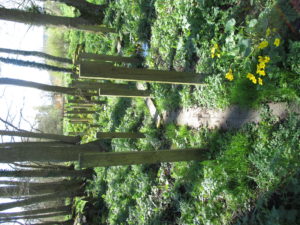
A view from the public footpath of the boardwalk through the boggy gardens of Spilsbury Farm, complete with grab posts and marsh marigolds (Caltha palustris).

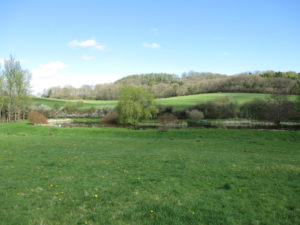
One of several man-made ponds in the area exploiting the stream and springs. You can just make out two swans, one of which (on the left) is bottoms-up, and the other (on the right) we think was nesting on the island.

We saw some brimstone and tortoisehell butterflies and heard a raven cronking in the distance. It was a joy to be out and about in the spring lusciousness and to see the sun again after such a drab winter.

Saturday stroll: Mount Edgcumbe and Kingsand / Cawsand

A few weeks ago when we were staying with my sister in Devon, we decided to go for a walk through the Mount Edgcumbe Estate in Cornwall to the twin villages of Kingsand and Cawsand, and back.

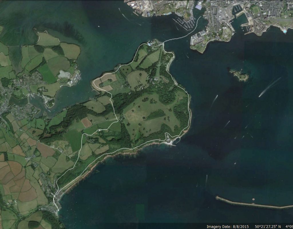
Our walk route is the white line: we headed south along the coast and then northwards on the way back.

Our ferry/walk route is the white line: we headed south along the coast to Kingsand / Cawsand and then northwards on the way back to Cremyll.

We left late morning, catching the Cremyll Foot Ferry across the Hamoaze (the estuary of the River Tamar) from the delightfully named Admirals Hard in Stonehouse, Plymouth in Devon to the tiny village of Cremyll on the beautiful Rame Peninsula in Cornwall. The main entrance to Mount Edgcumbe House is in Cremyll, and our walk took us through large parts of the estate of this impressive country house.

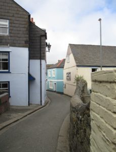
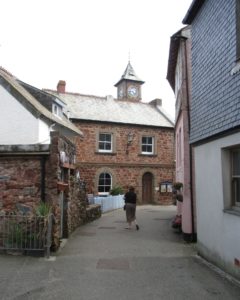
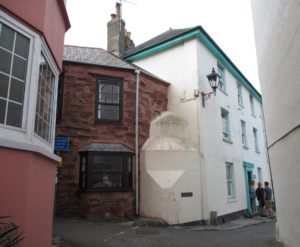
Heading south we followed the coast, stopping frequently to admire the view and drink the pre-mixed chilled Pimms that my sister had cleverly brought. The twin villages of Kingsand and Cawsand are very pretty, with tiny narrow lanes barely wide enough to take a car. It’s hard to tell where the one village stops and the other starts: they merge into each other. We had a couple of drinks in one of the pubs and then sat on the beach to eat our lunch and collect sea glass and take in the view.

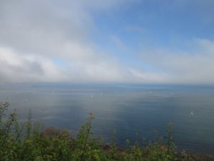
The weather was mild and with a strong sea mist blowing in as the day went on. The foot ferry journey at either end of the walk was an extra treat, giving as it does beautiful views of the Regency period naval buildings on the dock fronts.

I’ll let the pictures do the talking. Click on all to embiggen / bigify.

Setting out in some seriously comfy shoes.

Setting out in some seriously comfy shoes.

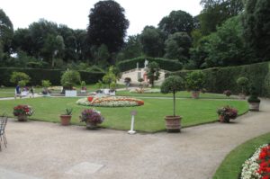
The beautifully kept gardens at Mount Edgcumbe House.

The beautifully kept gardens at Mount Edgcumbe House.

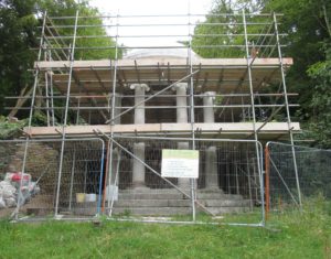
A folly in the estate being conserved / renovated.

A temple folly in the estate being conserved / renovated.

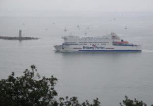
We watched the ferry come in as we drank our first Pimms of the day. The breakwater has a lighthouse on the end of it.

We watched a ferry come in as we drank our first Pimms of the day. The breakwater has a lighthouse on the end of it.

aIMG_2042 (2)

First sight of Kingsand / Cawsand.

First sight of Kingsand / Cawsand.

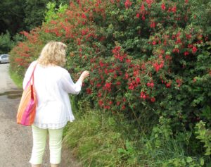
A beautiful fuchsia hedge.

A beautiful fuchsia hedge.

Getting closer.

Getting closer.

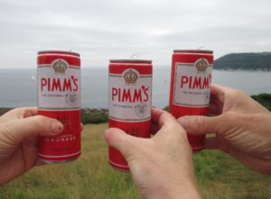
Pimms o'clock. Second of the walk. Lushes, us?

A Pimms with a view. Second of the walk. Lushes, us?

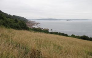
Looking back towards Plymouth. Fort Picklecombe is in the middle distance, now converted into apartments.
Looking back towards Devon. Fort Picklecombe is in the middle distance, by the rocky shore, and is now converted into apartments.
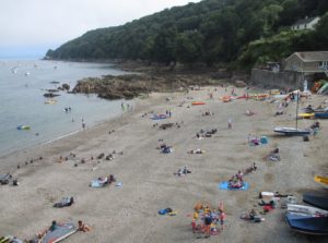
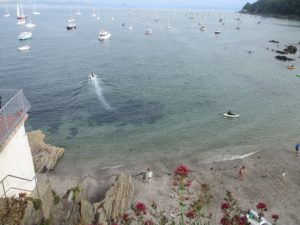
The beach at Cawsand.

The beach at Cawsand.

aIMG_2081 (2)

aIMG_2082 (2)

aIMG_2084 (2)

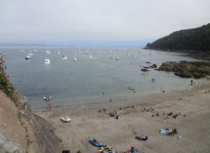
Looking across to Kingsand.

Looking across to Kingsand.

aIMG_2090 (2)

aIMG_2095 (2)

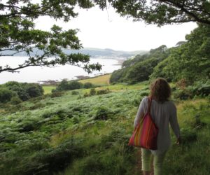
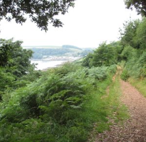
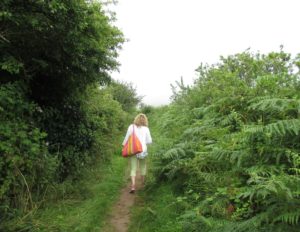
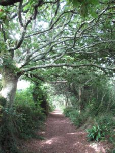
Beautiful footpath walk out of Kingsand.

Beautiful footpath walk out of Kingsand.

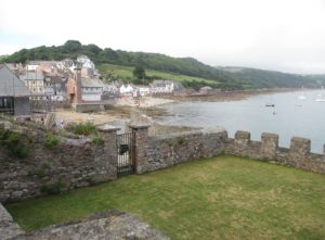
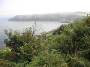
Looking back at Kingsand / Cawsand with the sea mist rolling in.

Looking back at Kingsand / Cawsand with the sea mist rolling in.

Love this. Like an impressionist painting.
Love this. Like an impressionist painting.
aIMG_2107 (2)

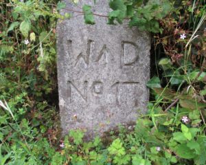
A War Department marker from the Second World War sea defences.

A War Department marker from the Second World War sea defences.

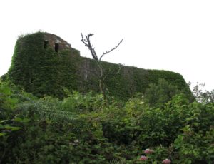
The WW2 military installation above the marker.

The WW2 military installation above the marker.

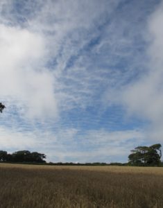
Big skies.

Big skies.

My sister doing her best Maximus Decimus Meridius impression in the barley field.

My sister doing her best Maximus Decimus Meridius impression in the barley field.

aIMG_2129 (2)

Looking up the Hamoaze to where Isambard Kingdom Brunel’s Royal Albert Bridge crosses the Tamar. If you click and then click again you can just make out the double arch of its lenticular iron spans.

More big skies.

More big skies.

aIMG_2145 (2)

Looking across to Torpoint on the Cornwall side of the Hamoaze.

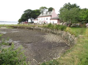
Beautiful house and quay at Empacombe

Beautiful house and old stone tidal quay at Empacombe.

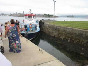
The Edgcumbe Belle, our ferry. Drake's Island is to the right.

The Edgcumbe Belle, our ferry at the pier at Cremyll. Drake’s Island is to the right.

aIMG_2174 (2)

aIMG_2190 (2)

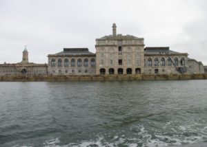
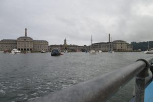
The Royal William Victualling Yard, Stonehouse, Plymouth. These impressive buildings were built between 1826-1835.

Parts of a favourite film of mine, Mr Turner, were filmed in Kingsand, with the village standing in for the Kentish seaside town of Margate.

Sunday stroll May Day walk: Fonthill Abbey

2019 UPDATE: The walks will take place this year on Sunday 5 May 2019 and Sunday 19 May 2019. 10.30-5.00, entry by Stonegate Lodge, SP3 6SP on the Hindon-Newtown lane. Dogs welcome on leads; some paths are steep and rugged. The walks must close in high winds. Beckford books to browse, and cakes, soup and barbecued sausages are available to buy. Donations at the gate, suggested £5+, and the proceeds will again go to Parkinsons UK and local charities. Hearty thanks to the owners Stephen and Bonnie Morant of Old Fonthill Abbey for their kindness in opening the grounds to the public.

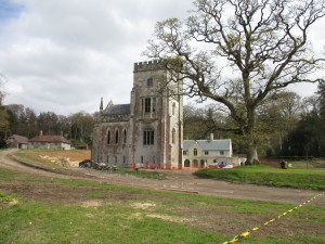
Yesterday was May Day, and despite the cold, grey weather we headed out for a walk round a small part of the 9,000 acre historic Fonthill Estate in south-west Wiltshire. The grounds of the Fonthill Estate are notably lacking in public rights of way. The ruins of the fabulous Fonthill Abbey are no longer part of the estate and are also not normally inaccessible, a rare open day for charity yesterday gave us the chance to have a good old snoop (plus a lovely walk).

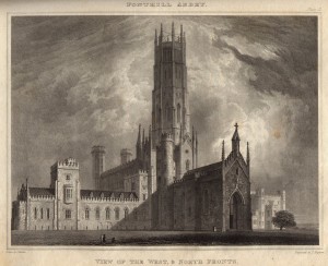
I’ve written before about Fonthill and its Abbey, built by the notorious William Beckford between 1796 and 1813, and very shortlived: due to its hasty and poor-quality construction, it fell down (for the final time) in 1825 and was later all-but demolished, apart from a part of the north wing.

Fonthill Abbey: View of the west and north fronts from John Rutter's Delineations of Fonthill (1823)

Fonthill Abbey: View of the west and north fronts from John Rutter’s Delineations of Fonthill (1823). All that remains is the part on the left hand side of the engraving: the low tower with the oriel window and everything to the left of it.

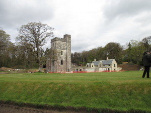
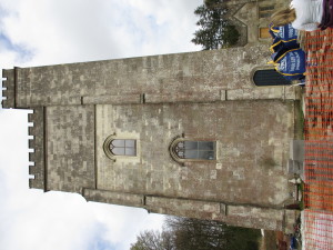
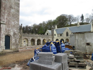
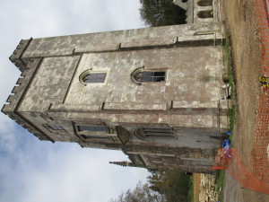
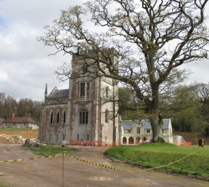
Fonthill Abbey ruins: all that remains, part of the north wing. A modern house has been built in the last year behind it and attached to some of the cloistered arcading.

Fonthill Abbey ruins: all that remains, part of the north wing. A modern house has been built in the last year behind it and attached to some of the original cloisters / arcading.

IMG_4718

IMG_4719

IMG_4720

IMG_4722

IMG_4724 (2)

It looks like the building work has mainly been completed, with just the hard landscaping (laying of flags etc) to be finished.

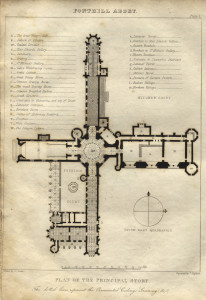
Fonthill Abbey ground plan.

Fonthill Abbey ground plan. The small part that remains is at the very top (north) of the plan.

We walked around Bitham Lake, the smaller of the two lakes on the estate:

Bitham Lake.

Bitham Lake.

Bitham Lake.

Bitham Lake.

Ruined small building in the woods.

Ruined small building in the woods.

Beautiful old Spanish Chestnuts with their wonderfully twisted trunks.

Beautiful old Spanish Chestnuts with their wonderfully twisted trunks.

IMG_4730

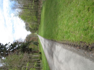
The long drive leading up to the Abbey ruins.

There is another open day on Sunday 15 May 2016, from 10.30-5.00. Entry is via Stonegate Lodge (SP3 6SP) on the Hindon-Newtown Lane (Grid ref 390900 130650). Donations at the gate: all proceeds go to ParkinsonsUK and local charities.

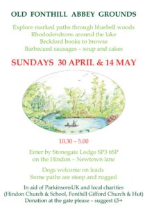
2017 UPDATE: The walks take place this year on Sunday 30 April 2017 and Sunday 14 May 2017 (click photo below to embiggen/bigify for details):

2018 UPDATE: The walks will take place this year on Sunday 6 May 2018 and Sunday 20 May 2018. Donations at the gate, and the proceeds will again go to Parkinsons UK and local charities. Hearty thanks to the owners Stephen and Bonnie Morant of Old Fonthill Abbey for their kindness in opening the grounds to the public.

Sunday stroll: a Wiltshire wood

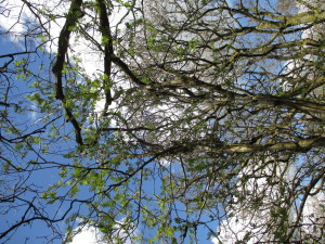
We went for a walk last Sunday (April 17) in some woods in south Wiltshire. A lone sycamore (Acer pseudoplatanus) and a lone rowan (mountain ash, Sorbus sp.) were already in leaf; the rest of the trees were still leafless, but budding up nicely. There are a lot of holly and birch trees in these woods; we don’t have birch around where we live as they don’t do well on chalk.

IMG_2297

IMG_2344

IMG_2345

Rowan in leaf (Sorbus sp.)

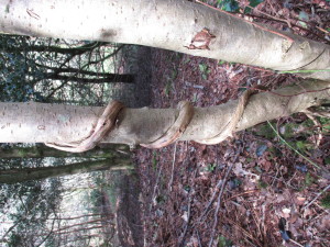
Honeysuckle (Lonicera periclymenum), also known as Woodbine, showing why it has the latter name ...

Honeysuckle (Lonicera periclymenum), also known as Woodbine, showing why it has the latter name …

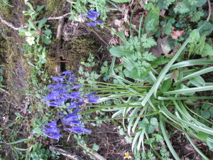
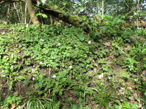
The first bluebells are out, plus wood anenomes, celandine, stitchwort and pink campion, and we came across a few clumps of daffodils too.

IMG_2371

Bluebells (Hyacinthoides non-scripta).

IMG_2359

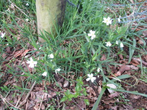
A bank of wood anemones (Anemone nemorosa).

IMG_2295

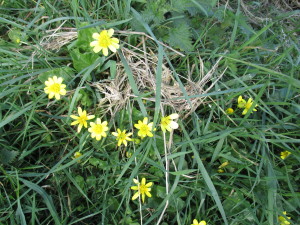
Celandine (Ficaria verna).

IMG_2312

Stitchwort (Stellaria holostea).

IMG_2338

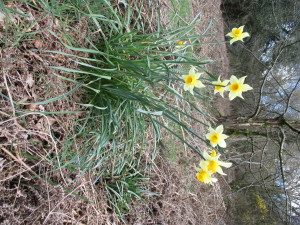
Daffodils. They look a little large to me to be our native wild ones: there are gardens nearby so these could be hybrids.

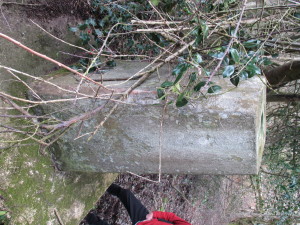
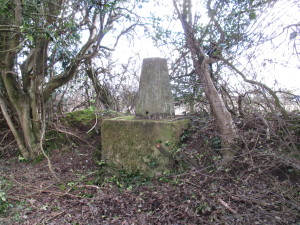
We disturbed a buzzard (Buteo buteo) from its perching spot in a tree above us, and found a hidden trig point.

IMG_2315

IMG_2321

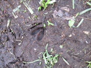
We also saw a lone roe deer (Capreolus capreolus) hoof print in the mud. Old Peg Leg, they call him.

IMG_2342

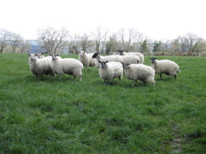
There were some heavily pregnant sheep in a neighbouring field: they looked like they were due to lamb at any time.IMG_2304

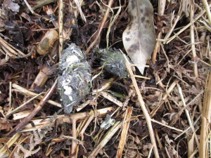
I also found a pellet, not sure if it’s an owl or other raptor pellet, or fox poo or badger poo. I’ve brought it home and am dissolving it in water to see what it contains. A girl’s got to have her hobbies ….

IMG_2339

(UPDATE: Lots of mashed up hedgehog spines 🙁 Possibly badger poo?)

It was a lovely day in glorious spring sunshine. And as an added bonus, on the way home, we saw the first swallow (Hirundo rustica) of the season. Magical.

IMG_2365

Glorious Wiltshire (seen over a pile of horse manure).

Sunday stroll: south-west Wiltshire

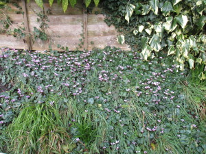
Today we went for a walk out from our village. Signs of spring are everywhere now, despite the sub-zero temperatures we’ve been having overnight for the past few days. Our neighbour’s bank has its glorious display of Cyclamen coum

x

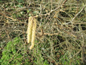
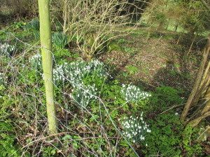
The hazel catkins are out and the snowdrops are at their best right now

IMG_5476

IMG_5485

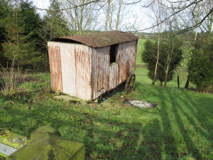
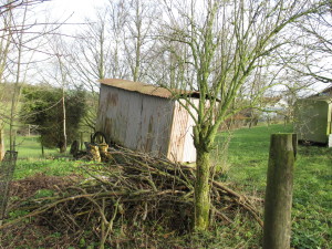
In one of the gardens walking out of the village is an old shepherd’s hut, with one axle broken. It reminds me of A Shepherd’s Life by W H Hudson, which I must re-read again. It was published in 1910, and in it he describes the life of the shepherds on the south Wiltshire downs over a hundred years ago, when those still living had memories going back to the early 1800s. I especially love it as he mentions our village.

An old shepherd's hut, that has seen better days.

An old shepherd’s hut that has seen better days.

IMG_5484

We walked out of the village to the sort of chalk downland on which the shepherds about which Hudson wrote would have tended their flocks

IMG_5489

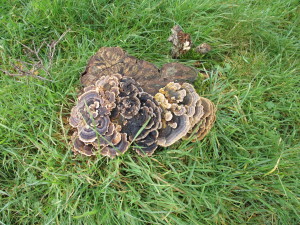
Beautiful fungus on an old hawthorn stump:

IMG_5493

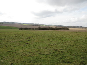
A hawthorn clump in the grazing land, giving shelter to the sheep and a haven for the birds. In the foreground you can see molehills with the freshly-turned white chalk lumps in them.

A hawthorn clump in the grazing land, giving shelter to the sheep and a haven for the birds. In the foreground you can see molehills speckled with freshly-turned white chalk lumps.

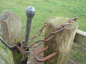
Lovely old gate furniture.

Lovely old gate furniture.

IMG_5513

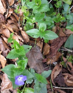
Periwinkle and dog's mercury.

Periwinkle and dog’s mercury among the beech leaves.