Today we went for a walk up Glastonbury Tor: it seemed like half of Somerset had the same idea as it was such a beautifully sunny day compared to the mostly soggy grey ones we’ve been having recently. (Click on all photos to embiggen/bigify/largeificate).
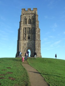
Glastonbury Tor in the distance with the ruins of the church of St Michael’s Church on top, the tor rising prominently out of the Somerset Levels that surround it.
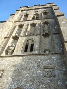
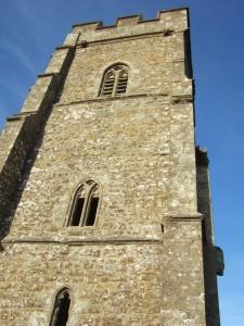
Glastonbury Tor is a small, isolated hill which stands out from the flat expanse of the Somerset Levels around it. It is formed from layers dating from the Jurassic period: the tor itself is Bridport Sandstone, overlying Blue Lias and clay. Only the tower of the church of St Michael that formerly stood there now remains. This dates from the 14th century. Local lore says that Glastonbury Tor is the Isle of Avalon of legend, and is reputedly the burial place of King Arthur.
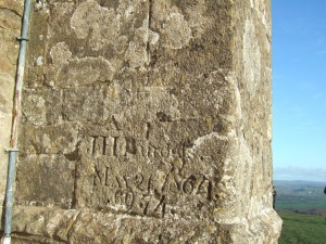
Lovely graffiti on the tower by J H Burgess, who visited on 21 May 1864, and revisited in 1869 and 1874.
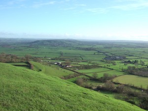
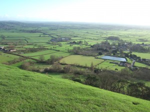
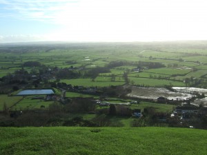
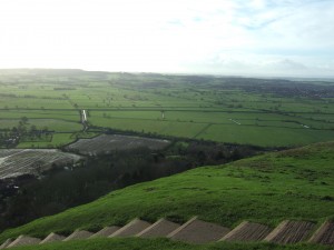
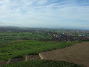
Panorama from the tor, looking from the north-east (in the first photo) clockwise round to the south-west (sixth photo). The village at the foot of the hill in the middle distance in the second photo is Pilton, and nearby is Worthy Farm, of the famed Glastonbury Festival.
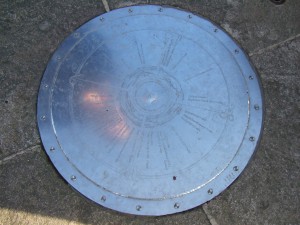
On the top of the hill is a lovely engraved plaque showing directions and distances to other notable places and features in the area.
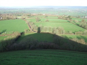
The tor cast a wonderful shadow over the surrounding lower land (view looking north).
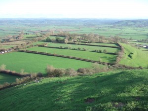
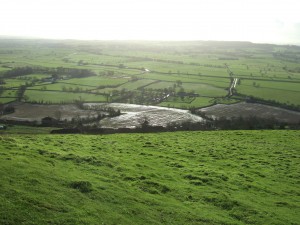
The low-lying Somerset Levels are very prone to flooding and drainage is a very important part of the land management there, with many straight drainage ditches (rhynes, pronounced reens) cutting across the landscape.
The countryside is looking unnaturally green for the time of year, a result of the very mild and wet weather we have been having. We’ve barely had a frost this winter, let alone a prolonged cold spell: compare with photos I took on 16 January 2015 on a walk in Wiltshire, almost exactly a year ago.
